What MotoRideDry does for you
on every kilometre.
MotoRideDry isn't a weather app with GPS bolted on. It isn't a GPS with weather as an afterthought either. It's an app built end to end for the rider who wants to leave well informed and come home with great memories.
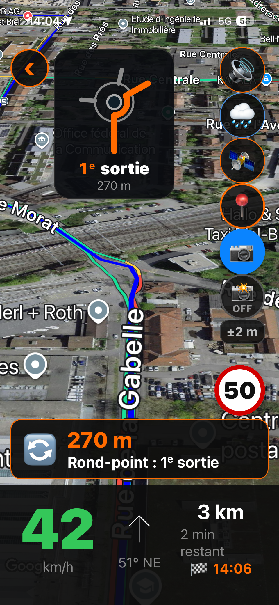
Motorcycle GPS. The road, rider-style.
Your car GPS sends you onto the motorway. MotoRideDry favours back roads, mountain passes, and twisties. You set the destination, it finds the route worth the detour.
- Rider routes: mountain passes, bends, scenic roads
- Voice navigation adapted for helmet use
- Offline maps to download before you go
- Scenic loop: a ride that brings you back to your starting point
- Border crossing: the country's speed limits update automatically
- Dark interface, readable in sunlight or at night
- Speed limit displayed in real time + overspeed alert
- Adaptive automatic rerouting if you change course
- Tilted map view — "rider perspective"
- Points of interest: fuel stations, restaurants, hotels, viewpoints, and must-see spots with photos
- Configurable avoidance zones (closed pass, tunnel…)
- App available in 7 languages
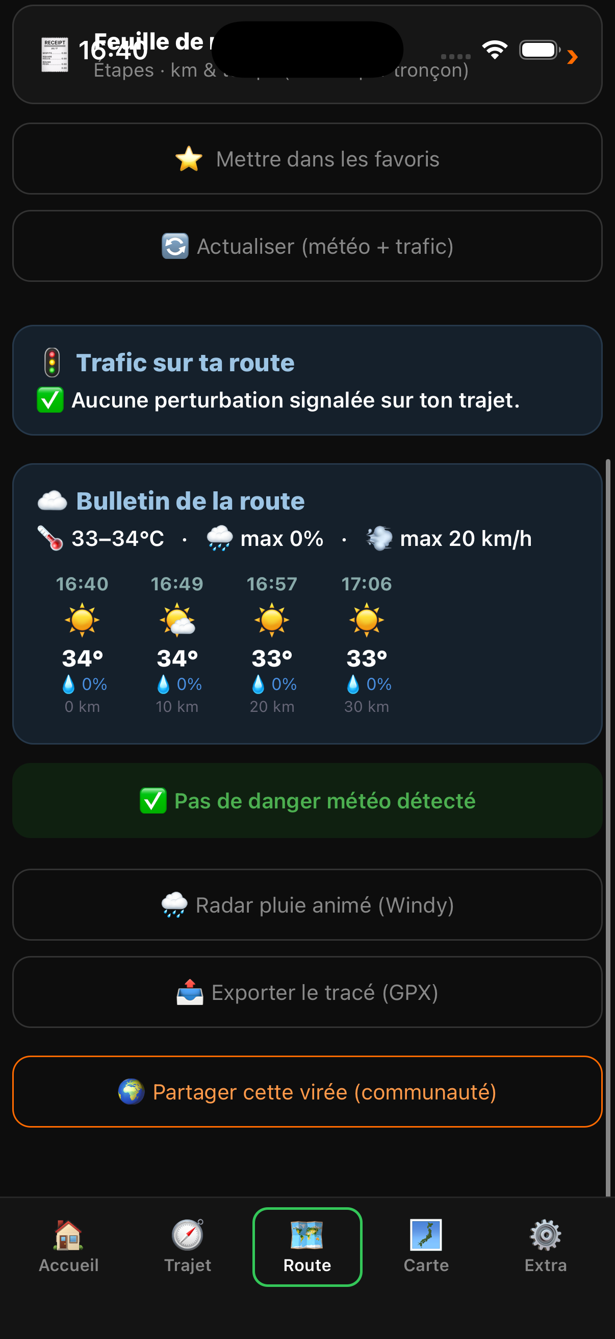
Real-time weather. Not the city forecast — your route's forecast.
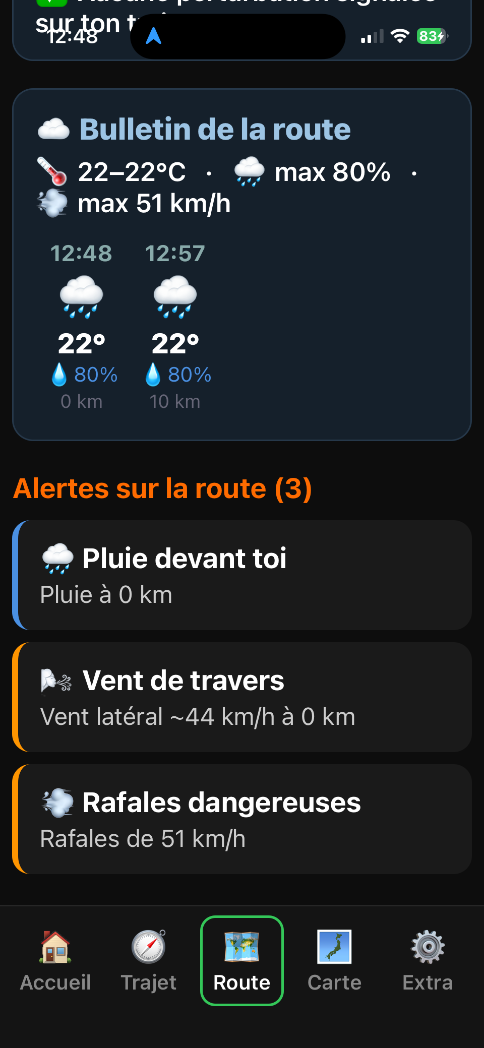
MotoRideDry cross-references every segment of your ride with real-time weather data. You see rain risk and wind strength, hour by hour, segment by segment.
- Rain risk per segment, hour by hour
- Weather coverage worldwide
- Data updated every hour
- Strong wind and ice risk flagged on your route
- Official storm alerts integrated
- Minute-by-minute rain nowcast (iPhone)
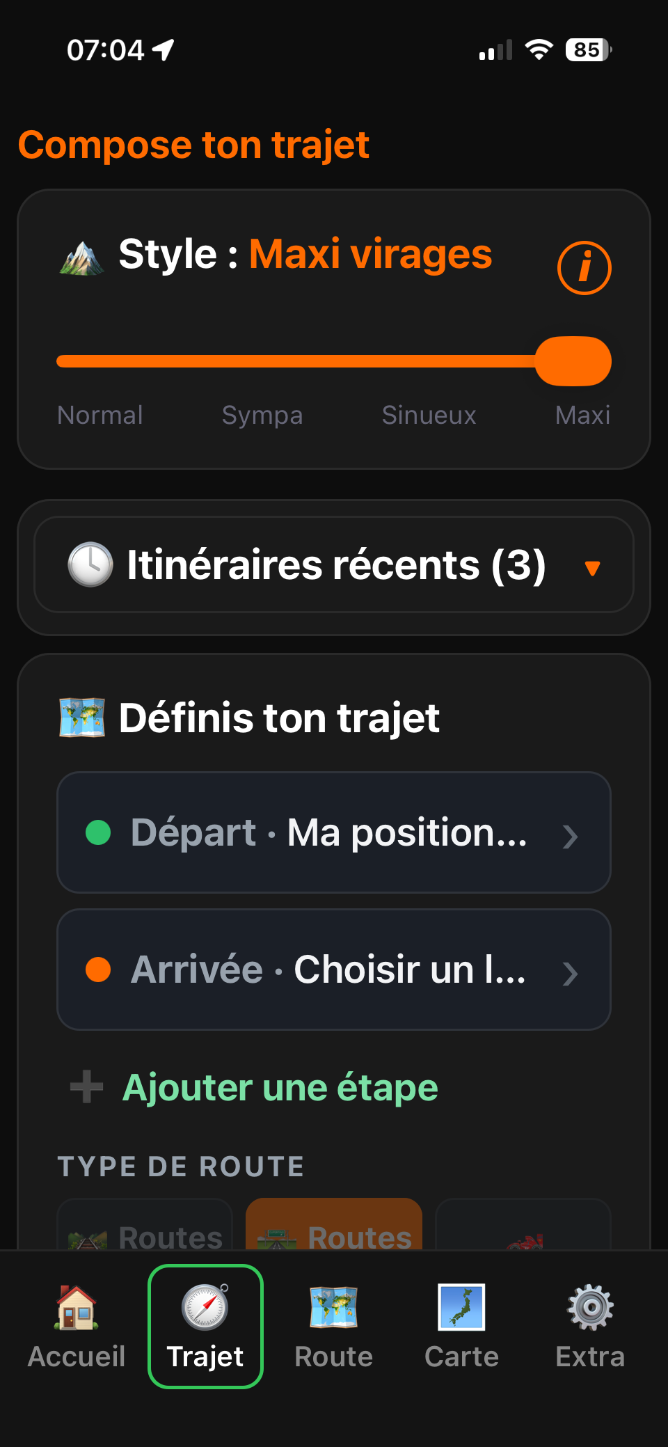
Plan your ride. You pick the road, the app handles the rest.
Enter your start and destination, add waypoints along the way. Then choose your road style — from fastest to most twisty — and MotoRideDry draws the route that fits you. Feel like riding with no fixed destination? The Scenic Loop brings you back to where you started.
- Start, destination, and intermediate waypoints
- Road styles: Normal, Pleasant, Twisty, Max Bends
- Scenic loop: a ride that returns to the start
- Save your favourite routes
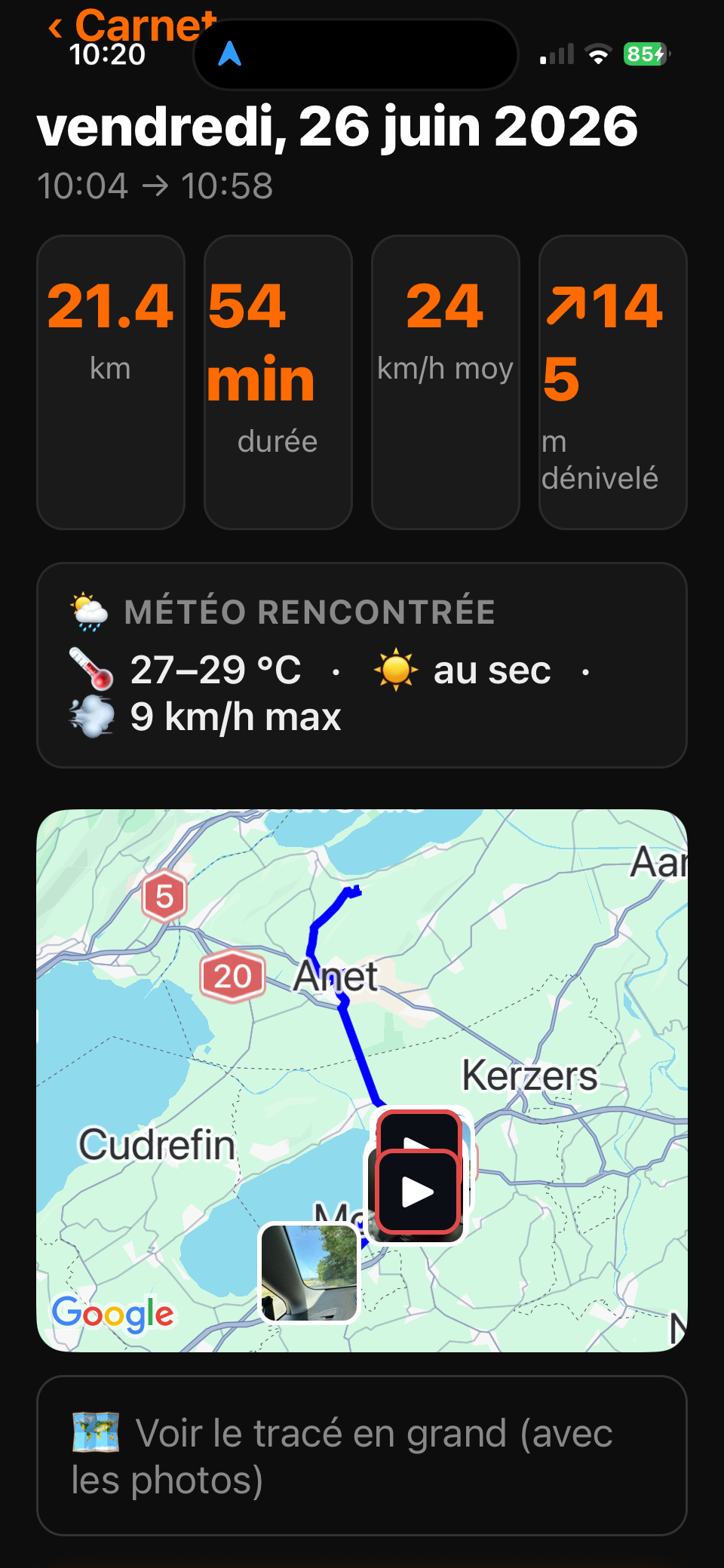
Ride logbook and photos. Your outings, kept for good.
Every ride records itself: track, distance, duration. Take photos or videos along the way — even without letting go of the handlebars, with a Bluetooth shutter — and they're automatically filed with the right ride. Export your track as GPX to keep it or share it.
- Track, distance, and duration recorded automatically
- Photos linked to the ride (Bluetooth shutter compatible)
- Ride videos recorded and filed with the outing
- GPX export to keep or share your track
Rider-focused weather. And alerts while you ride.
Rain risk per segment, estimated visibility, fog on mountain passes — data only a rider truly needs. And if conditions deteriorate on the road, you're warned instantly: voice alert in your helmet, notification on your route, icon on the map at the exact point of danger.
- Fog risk on mountain passes
- Visibility index per segment
- Localised weather all along your route
- Bluetooth voice alert in your helmet
- Notification when a rain zone or storm approaches on your route
- Alert icon pinned on the map at the exact point of danger
- Live traffic: jams, accidents, roadworks — with rerouting suggested
Offline mode. The signal drops in the mountains. The app doesn't.
Download your region's maps before you leave. MotoRideDry keeps voice guidance running even without a signal — handy in dead zones, at altitude, or abroad without a data plan. Note: route calculation and rerouting do require a connection.
- Maps to download before you go
- Offline maps + voice guidance maintained without signal
- Perfect abroad (no roaming charges)
If things go wrong, someone close can know.
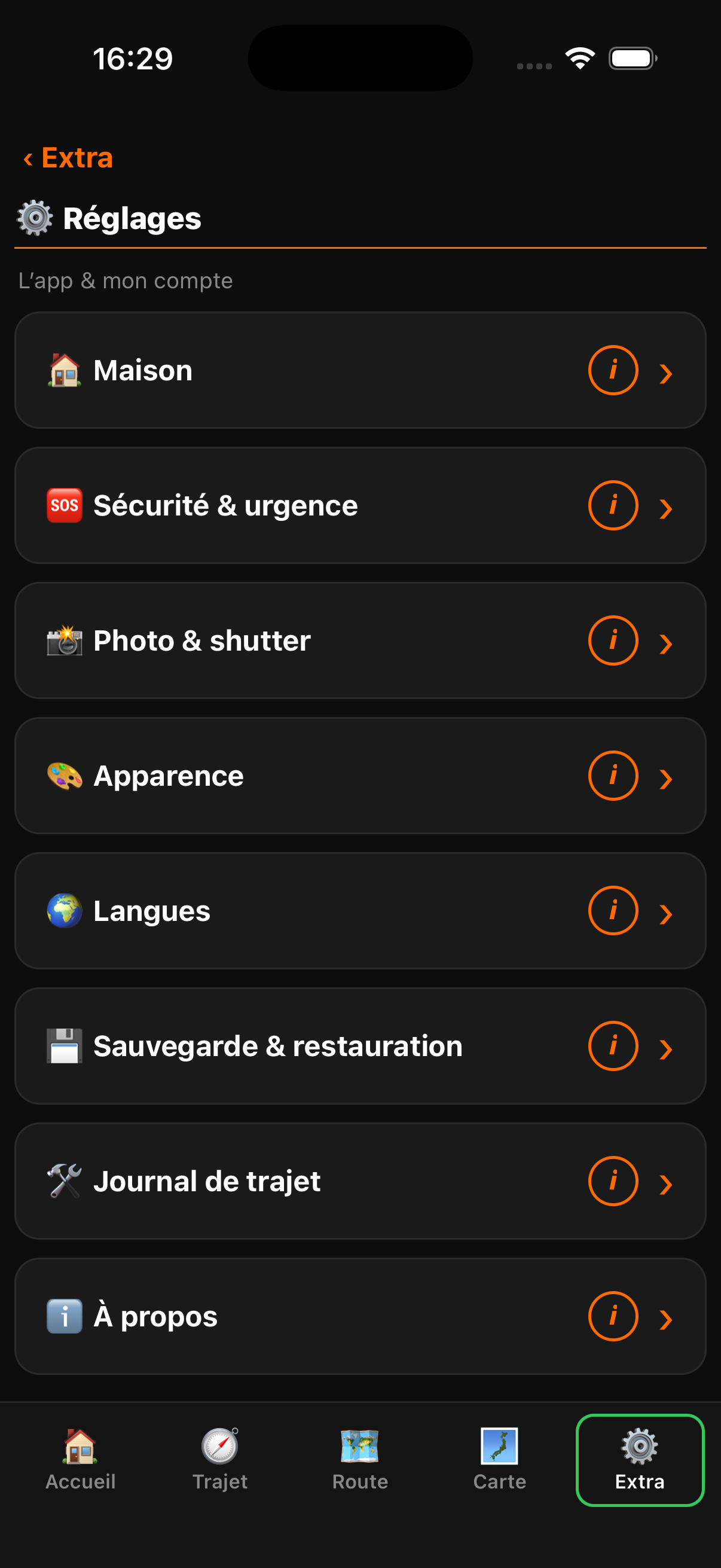
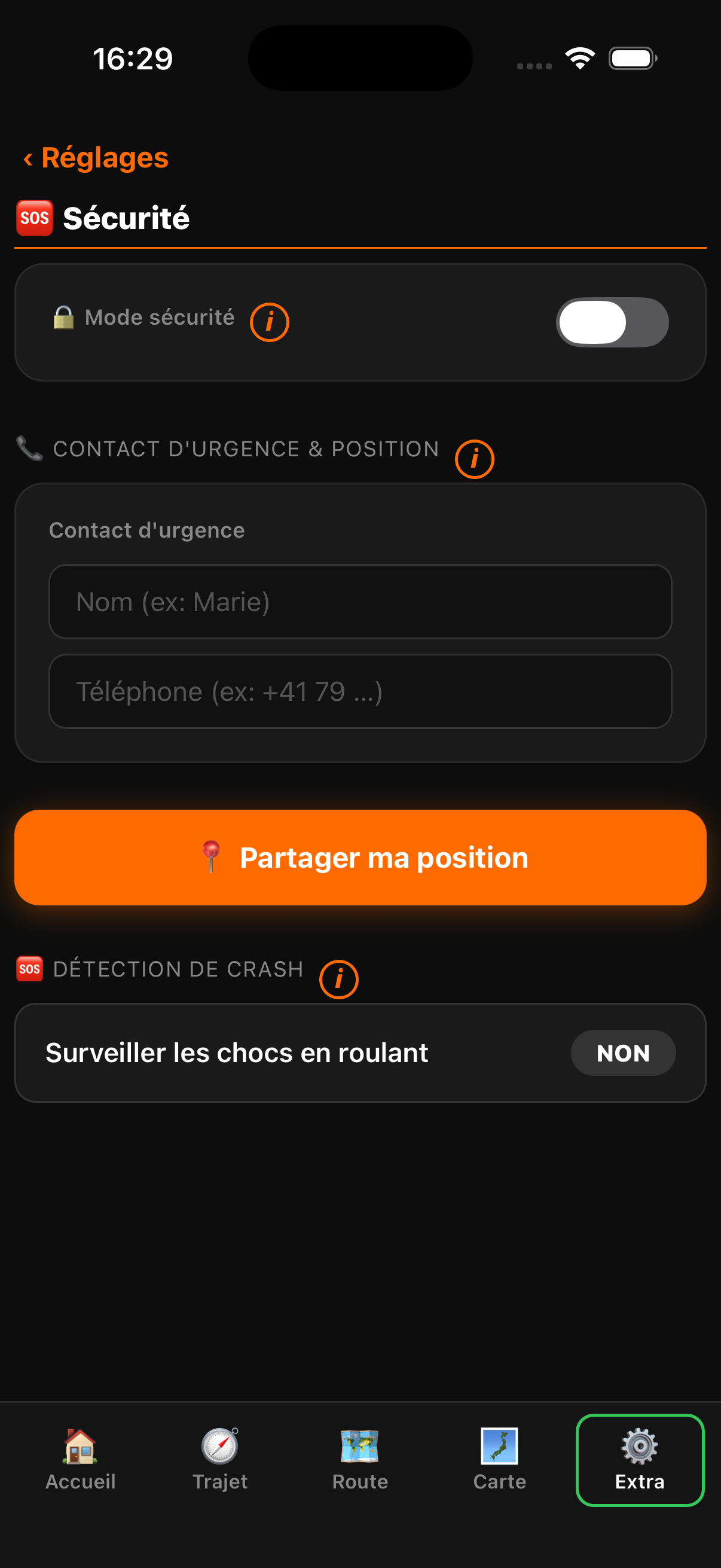
While navigating, MotoRideDry can detect a heavy impact. A countdown starts — you cancel it with one tap if all is well. Otherwise the app offers to send your location to someone close. Optional, supplementary feature: it replaces no rescue device.
- Optional impact detection while navigating
- Offers to send your location to the person you chose
- Live location sharing with a contact (Maps link)

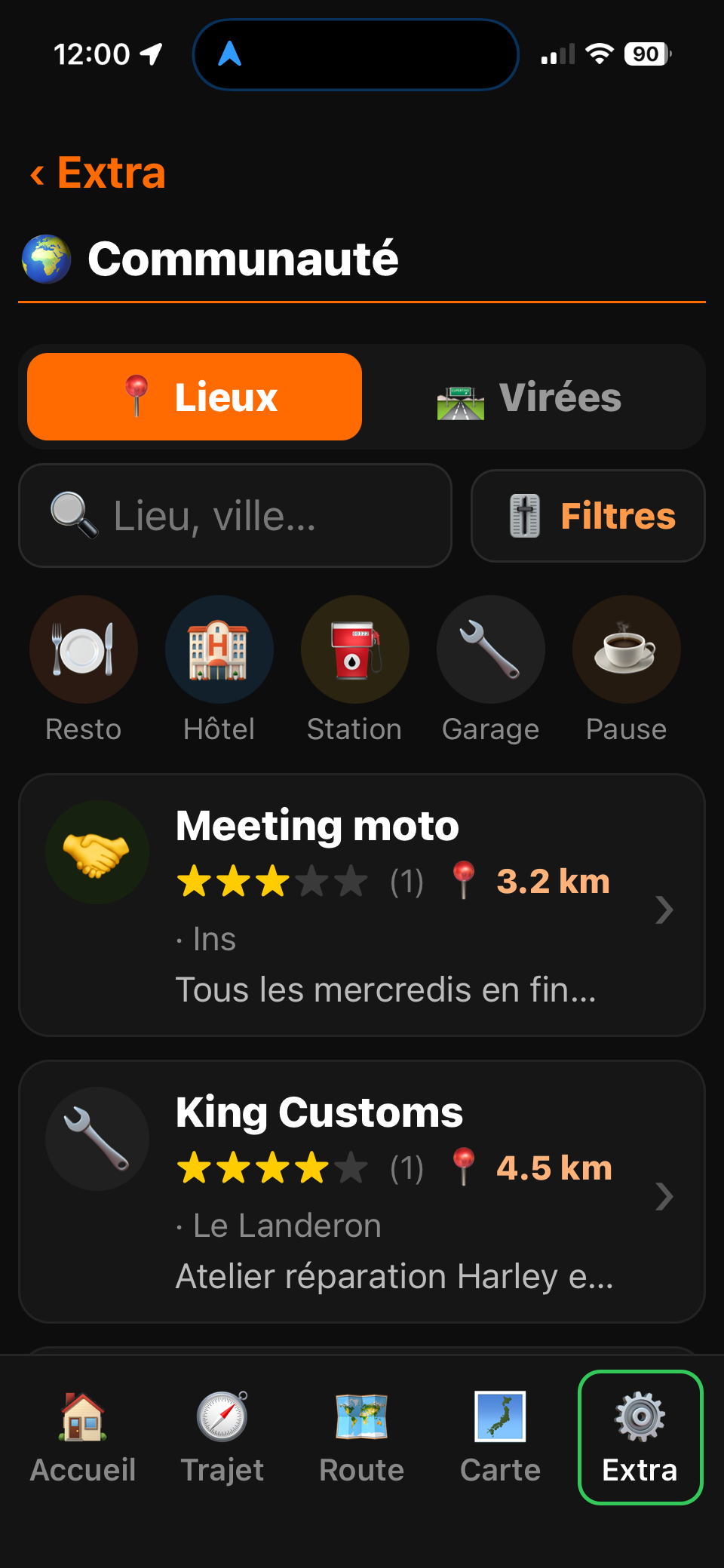
Community. The best tips from fellow riders.
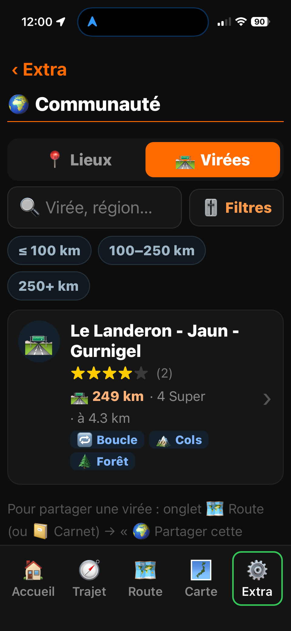
Discover other riders' favourite roads and share yours. Spot the places worth stopping at — café, viewpoint, garage — flagged by riders who've been there.
- Rides and circuits shared by the community
- Must-visit spots flagged by riders
- Filters by distance, road style, and scenery
- Import the best routes in one tap
New to MotoRideDry? Start here.
We put together a complete PDF guide to get you up and running in 10 minutes flat: setting up your profile, creating your first route, reading weather alerts, offline mode — it's all there, illustrated, step by step.
Nothing mandatory: the app is designed to be picked up without help. But if you want to get the most out of every feature, this guide is your shortcut.
That's what it does.
Development is on hold: the app is not being distributed at this time.